Disclosure: This post (probably) contains affiliate links. If you click on one, I may make a small commission. Of course, this will come at no extra cost to you and helps keep this site running.
Seeing different traditional post towns in Japan was my reason for visiting the Kiso Valley. But the chance to hike the Nakasendo Way as I travelled from Magome to Tsumago was the cherry on top. Getting the chance to experience these towns and spend some time in gorgeous nature was just too hard to resist.
From Magome, Tsumago is a walk of 7.6km (4.7 miles) if you take the meandering trail that connects the two among the hills and valleys of Gifu and Nagano. During your walk, the scenery regularly changes between forests, countryside, rural communities, and towns. The Magome to Tsumago walk lets you see much more of Japan than you otherwise would, with the added benefit of easy public transport access.
Find out what it’s like to walk from Magome to Tsumago in the Kiso Valley by following the Old Nakasendo Way.
What is the Old Nakasendo Way?

The Old Nakasendo Way is a historic route in Japan, one of five “highways” that led to Tokyo, then known as Edo. This long route stretched from Kyoto through the central mountains of Honshu and around to Tokyo.
Along this historic route, there were 69 stations, places where you could stop as you travelled. These places are known as post towns, with inns where you could stay overnight. Magome (Magome-juku) and Tsumago (Tsumago-juku) are two examples of post towns.
Only some sections of the Nakasendo Way remain today. One remaining section is the Kisoji route running through the Kiso Valley. The route from Magome to Tsumago has been declared a national historical site due to its exceptional preservation. So, it’s obvious why this is one of the most popular and well-known places to walk the Old Nakasendo Way.
While it’s considered one of Japan’s most famous attractions, I admit I only learned about it from a fellow travel blogger, Travelexx. After seeing his hikes on the trail, I also decided to visit. The Old Nakasendo Way is a hit with tourists because it provides visitors with a way to be more active while not slowing down on their sightseeing.
Magome to Tsumago is particularly popular because it fits perfectly into a half/full day of sightseeing, and both towns are very scenic. It doesn’t hurt that there’s lots of traditional accommodation in the Kiso Valley to add to the experience.
Getting to Magome to start the hike
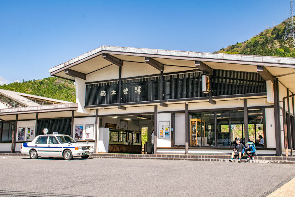
Both Magome and Tsumago are located up in the hills above the Kiso Valley, with neither having a train station. The most convenient place to access both towns is Nagiso on the Chuo train line. This is true whether you’re staying in Narai or Kiso Fukushima, or staying in Magome or Tsumago.
A one-way ticket from Kiso Fukushima to Nagiso costs ¥590. If you’re travelling through the region more broadly, you can also use the JR Pass or Alpine-Takayama-Matsumoto Area Tourist Pass if you’re making the most of Japan’s regional rail passes.

Once you’re at Nagiso Station, you can board a local bus that runs through Tsumago to Magome. The buses are parked on your left as you exit the train station. Bus tickets are paid for onboard the bus as you leave at your stop. The bus ticket prices are:
- Nagiso to Tsumago: ¥300
- Nagiso to Magome: ¥800
- Tsumago to Magome: ¥600
You can also board the bus at intermediate stops along the route, including at the Magome Pass.
Begin walking in Magome

Hopping off the bus, you’ll find yourself at the bottom end of Magome town. While you can look around the area there and walk downhill to the farms, what you want to see is all uphill.
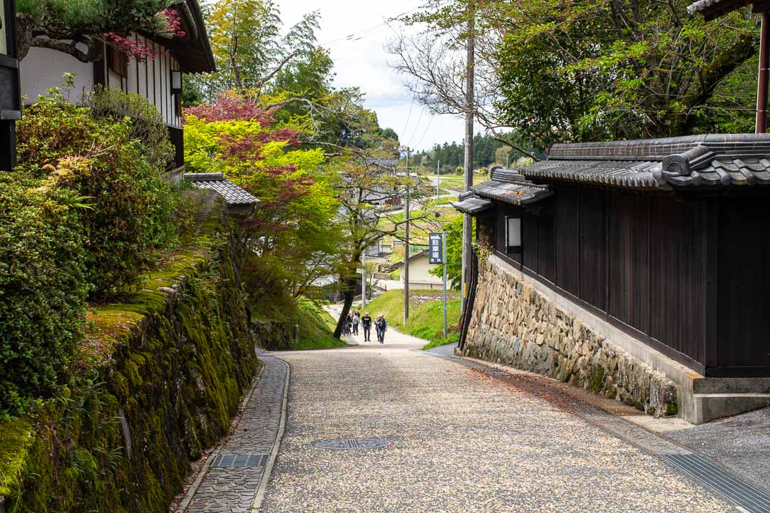
Walk uphill through the main pedestrian street of Magome, and you’re already on your way. You’ll pass old-fashioned homes, lots of trees, and some small gardens before reaching the road again. Just up from there, on the edge of town, is a viewpoint with great views of the landscape around Magome.
After a quick lookout stop, it feels like you start on the trail proper. Following the Old Nakasendo Way, the trail here is a stone path with several sections of steps that lead up the hillside. It’s a gentle start, which is nice and primes you for the rest of the walk.

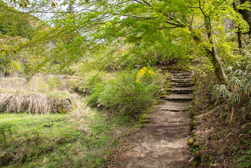
Walking up, the trail generally runs parallel to the main road, switching over the road several times. Most of the time, it’s a well-maintained stone path, but there are spots where it’s just a regular trail.
As you go, there are occasional places to stop and sit, such as a small rest station by a water mill. You even come across one or two small waterfalls, giving the place a very tranquil feel. Nearing the top of the hill, you reach a small community and walk along a narrow minor road, past houses and small farms.

Over the Magome Pass
As you continue to climb, the trail will lead back to the main road through the area. It’s when you’re by the side of the road that you’ll reach the Magome Pass, marked by bus stops and a large map displayed.
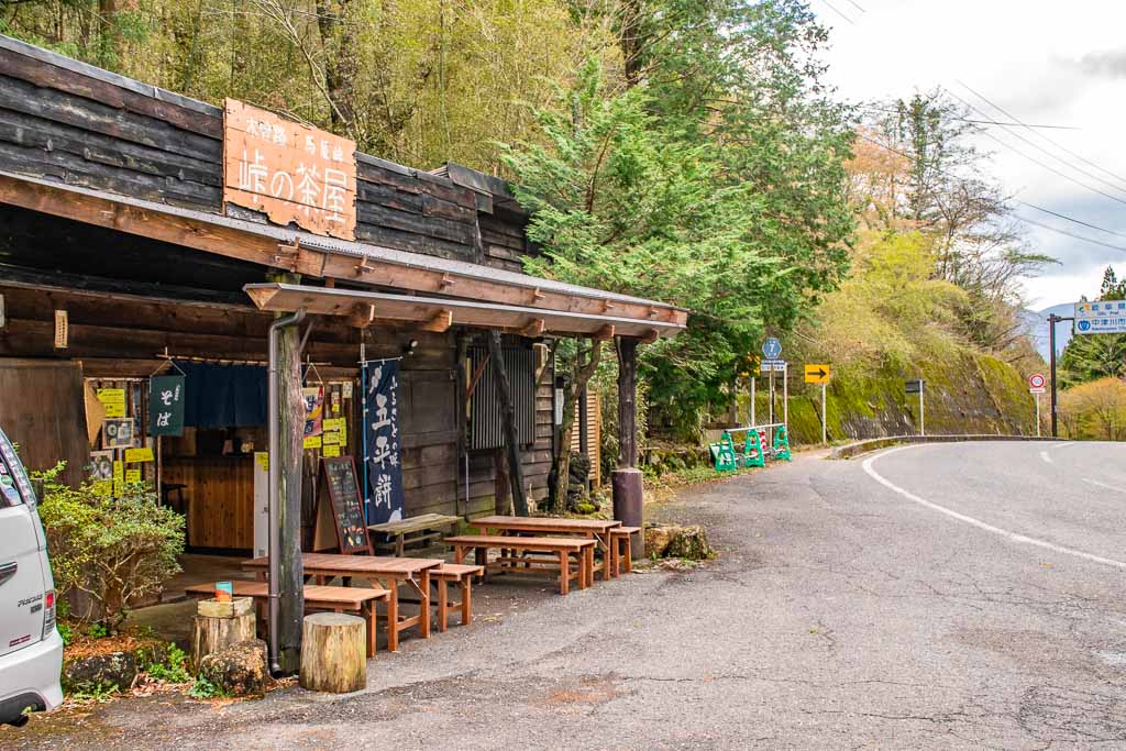
The pass has a sign indicating you’re at 801 metres elevation, which is higher than I would have guessed. It’s easy to forget that you started already in a valley up in the mountains. At the top of the pass, there’s also a store, which maybe gets more lively around lunchtime, but when I was there, it was ghostly quiet.
Unfortunately, I can’t say that you’re done with walking uphill at this point, even though you’ve reached the top of the pass. You will find some uphill sections farther along, but thankfully, there’s more variation in the trail from here on.
Nowhere on the Nakasendo Way between Magome and Tsumago is it that steep. And yet it’s nice to reach the start of the downhill section here.
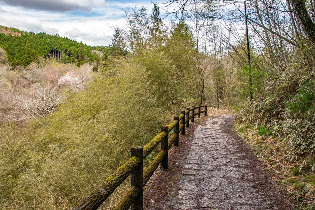
Tateba Teahouse

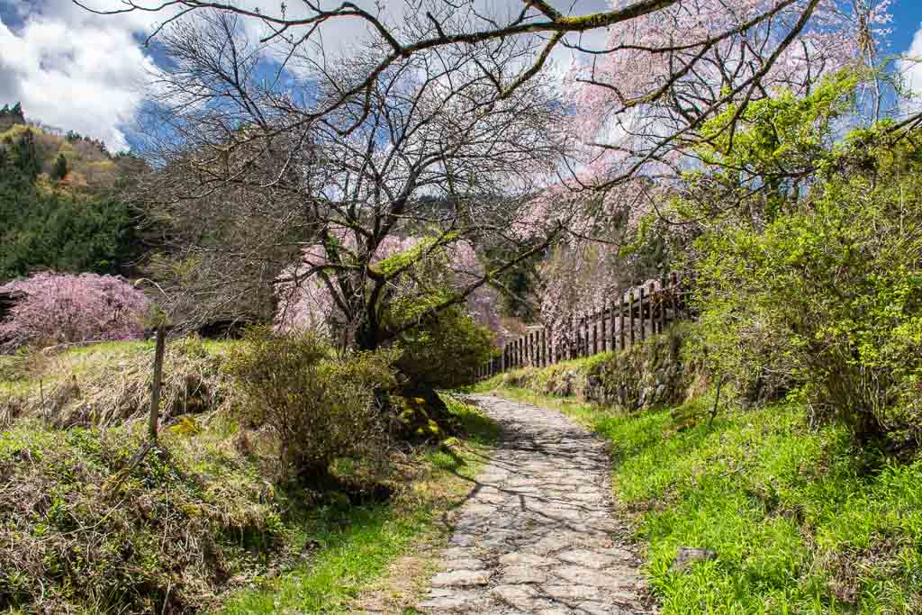
I didn’t have much expectations about what I’d see on my walk of the Old Nakasendo Way. But I was surprised when the trail brought me to the Tabeta Teahouse. Found down from the Magome Pass past some forested areas, it comes a little out of nowhere.
The surprise is only magnified by its dream-like setting. Weeping cherry trees bursting with pink all around the old building make it seem as if it’s come from a folktale. It’s the perfect example of why visiting Japan in spring can be magical.
As you approach, you might just think it’s someone’s home. A very old home, might I add, as it’s over 200 years old. The teahouse’s host provides walkers with free tea, shelter from rain, and the opportunity to see what the interior of an old home looks like. There is a donation box if you decide to leave something.

While it’s a little off the main road, the teahouse is easy to spot. It’s located near the Ichikoku bus station if you want to take the bus to/from here.
The big giveaway is the cherry blossoms, as you don’t see too many in the surrounding area with all the forest. Much like the house, the trees are also very old. One of the weeping cherry trees here is over 250 years old, according to a sign.
Walking in the forest
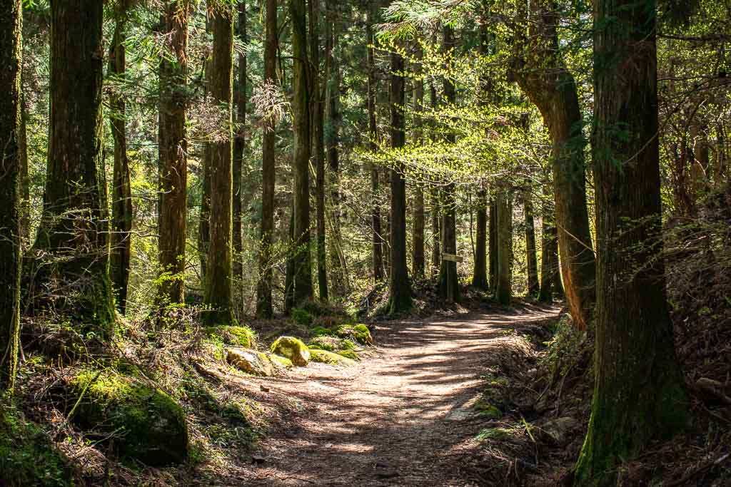
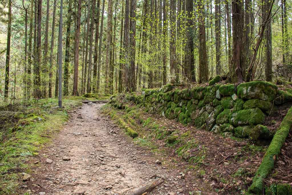
Leaving the tea house, we reach what may have been my favourite setting. This section of the trail leads you into some beautiful forest alongside a river, with mossy boulders along the path and the occasional shrine. Even though it wasn’t that warm of a day, the cool climate in the forest takes the edge off as you get further into the hike.
But there is one thing that may affect your relaxing in the forest.
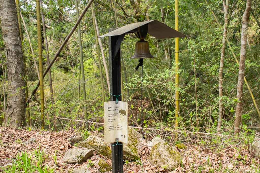
Believe it or not, there are actually black bears that call the Kiso Valley home. Since the trail takes you through some wilderness, this can be a real safety concern. To scare off bears, there are bells set up in more remote areas, and you’re encouraged to ring them to warn them that you’re coming.
Another thing that can impact the experience is the trail condition. Many parts of the trail on this side of the pass are just dirt tracks. If it rains, which in spring it does, you can expect the trail to be muddy in sections.
As soon as I saw puddles and mud, I regretted wearing my every day sneakers. Thankfully, I managed to sidestep these small patches, but this was only after one day of rain. I can’t imagine how muddy and waterlogged it could get after a rainy week.
Otaki and Metaki Waterfalls
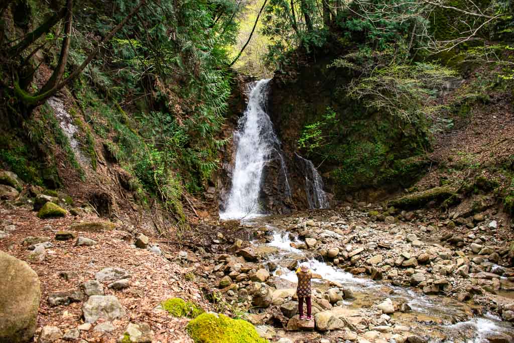
One thing that may disappoint some visitors is that there aren’t many “attractions” along the trail from Magome to Tsumago. But this does make the two waterfalls, Otaki and Metaki, that are on the route stand out.
The waterfalls are located near a small parking lot by a bridge, making them easy to spot. Stairs led down from the parking lot immediately to the waterfalls. While there is an earlier path leading you away from the road before you reach the parking lot, it was closed during my visit due to landslides.
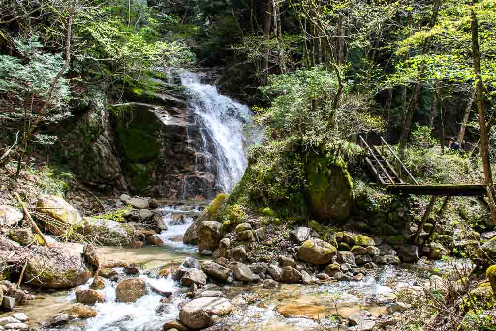
No matter how you get there, the waterfalls are worth visiting. Both waterfalls have multiple lookouts where you can admire them. What’s nice about this spot is that you can stop walking here and wait at the bus stop up at the parking lot. But I think it’s worth continuing, as you’ll see.
Down to Tsumago

Following the waterfalls, the trail becomes a little less eventful as you reach the bottom of the valley. You will walk past a small community and several shrines before returning to the main road. It’s at this point that you start to re-enter residential areas, most of which are larger and more clustered than the ones near Tsumago.

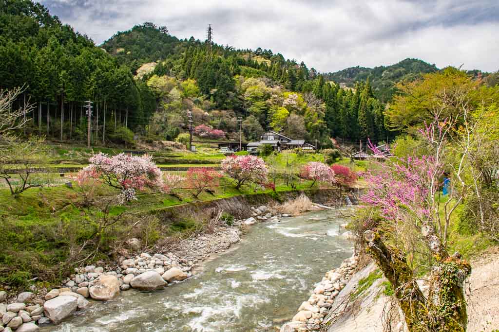
Staying on the Old Nakasendo Way, you’ll crisscross the stream that flows down from the pass. Eventually, though, it flows into the much larger and open Araragi River. Walking down to the river, you get some beautiful scenery, especially in spring, as the trees are bursting with blossoms that range from white to a vibrant fuchsia.
Crossing an old bridge over the Araragi River, you’ll then be taken along the river for a bit which is nice. By the time you cross the main road again, you’ll find yourself at the start of Tsumago town.
Returning from Tsumago to Nagiso Station
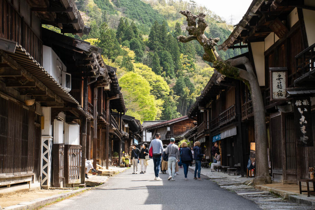
After walking around Tsumago, you could stop there and get the bus back to Nagiso Station.
But what if you still feel like walking some more? Well, you can just continue on the Old Nakasendo Way back to Nagiso Station. Midono-juku, modern-day Nagiso, was the next station on the route, so you can just stay on the trail there.
At the northern end of Tsumago, there’s a fork in the road. Go left, and you will reach the main entrance of the town, with a taxi rank and bus stop nearby. Stay right, and you pick the Old Nakasendo Way again as it takes you through the countryside back to Nagiso.
From Tsumago to JR Nagiso Station, the signposts say it’s 3.7km (1.5 miles). That isn’t too far, but there are a few small hills in the way to slow you down.

Unlike the earlier areas, there’s more countryside than forest on this section of the walk. This area is also much more settled, and you may encounter locals out and about. Perhaps the biggest change to walking to Tsumago is that there are far fewer tourists on the trail here.
You’ll know you’re almost back into Nagiso when after passing homes and shrines, you reach SL Park. This park stands out due to the presence of a steam engine and old train tracks. A small sign indicates that this train was in service from 1940 to 1970, serving the Chuo-west line for 30 years.

Tips for the Magome to Tsumago trail

You should now have a sense of what to expect when walking from Magome to Tsumago. However, there are a few other things to consider that may aid in the walk.
It goes without saying, but you want comfortable walking shoes for this walk. Hiking boots aren’t necessary, but can make muddy trails less of an issue.
Weather is something you need to think about here. As I mentioned, one section of the trail was closed due to landslides. Be mindful of this if you’re visiting during or after heavy rainfall.
As for food, I would say you’ll want to either get food in Magome/Tsumago or carry water and snacks with you. Aside from picking up a snack in Magome, the timing of my walk didn’t work for getting food in either town.
Have you heard of the Old Nakasendo Way before or maybe even walked it yourself? Does the idea of a day hike from Magome to Tsumago appeal to you? Please share your thoughts in the comments below.

6 comments
Good article – we did the hike from Magome-Tsumago in spring 2016, stopping in Nagoya on the way from Osaka-Tokyo & getting a local train to Nakatsugawa Station (50 mins) & bus to Magome (30 mins), returning via bus from Tsumago-Nagiso then train to Nagoya Station where we’d left our luggage in a locker (then onto Tokyo). Looks like the trail hasn’t changed at all. It was a week day and Magome was busy but hardly anyone on the trail.
Just a heads up that you have made an error in your paragraph ‘Begin walking in Magome’ and called it Tsumago multiple times.
Thank you for noticing those errors Barbara, I clearly had my mind elsewhere when writing that section haha.
It’s nice to hear that you were able to experience the region as a day trip from Nagoya, but also that the path hasn’t changed much. I imagine the main thing that has changed over the years is the number of international tourists, so I think it’s fortunate you went when you did.
Hello David,
I will do the trail this coming October 2024 but start from Otsumago. I cannot find accommodation in Tsumago towns. I got a room at Kameyama which in Otsumago.
Is it a chance to get loss along the trail? I will walk alone and I am not good at direction.
Thanks,
Apple
Hi Apple,
Between Tsumago and Magome, the trail is very well signposted so you should not have troubles there. I also remember seeing signposts for the trail in Kiso Fukushima and Narai Juku, but I can’t say how clear the trail is between these places. There aren’t too many trails either so it’s hard to take wrong turns and go the wrong way.
If you are worried, I would go to a tourist information center in one of the Kiso Valley towns and ask for a map or help.
Safe travels!
Hey David, I was very excited to come across your article as I am planning to hike this section myself in late April this year. Your pictures are stunning… may I ask what month you did this hike?
Thanks!
T
Hi T, I hiked in April too. I think it’s a nice time to do it, both because it’s between the cold/hot months (chance of rain though) and you may see cherry blossoms. Safe travels!