
Disclosure: This post (probably) contains affiliate links. If you click on one, I may make a small commission. Of course, this will come at no extra cost to you and helps keep this site running.
Freycinet National Park is one of Tasmania’s most famous outdoor destinations, thanks to its incredible scenery. But it’s only by hiking in Freycinet National Park that you can hope to see its views.
Since this destination is such a highlight of Tasmania’s east coast, anything you can do to prepare for your trip is going to be worthwhile. Allow me to guide you through the basics of visiting Freycinet so that you know what to expect when you come.
Where is Freycinet National Park?
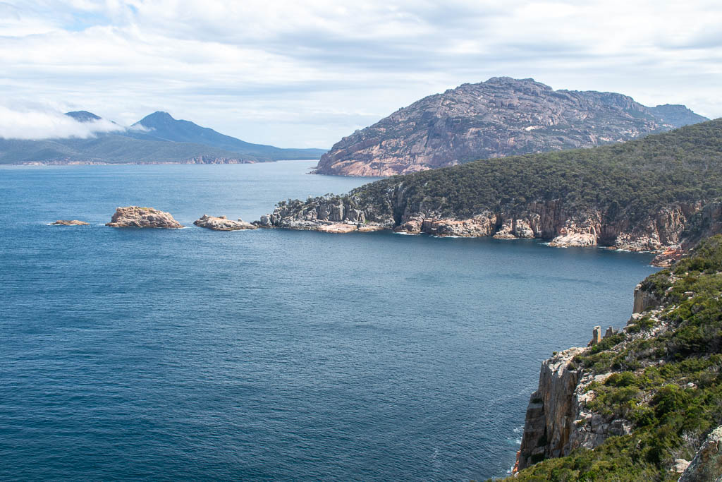
With the Bay of Fires to the north and Maria Island and the Tasman Peninsula to the south, Freycinet National Park is right in the middle of the island’s east coast.
This national park is roughly the same distance from both Hobart and Launceston, meaning you can easily add a visit to most Tasmania road trips. Because, yes, you really do need your own car if you plan on going to Freycinet National Park.
Regional buses will get you to the closest major towns, but then you have no way of getting into the national park. Rent a car, and all of this no longer becomes a problem.
Tours are your other way of visiting Freycinet:
Is Freycinet worth visiting?
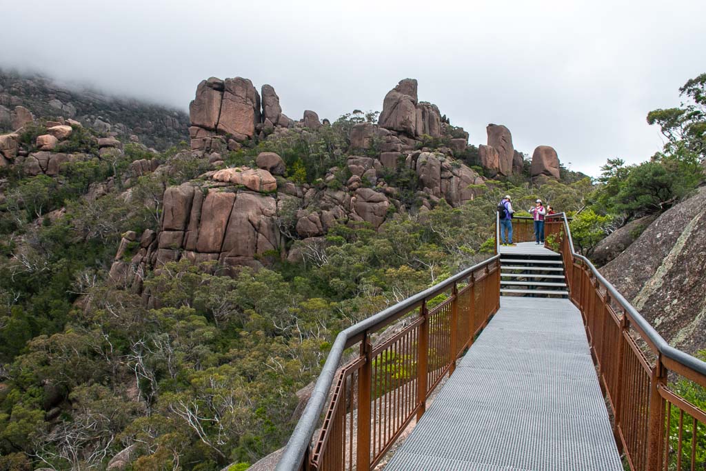
Yes, Freycinet National Park is worth visiting if you enjoy the outdoors, and it is a great addition to a Tasmania itinerary.
Tasmania is, first and foremost, an outdoor destination, and countless walks in Tasmania showcase its natural beauty. Well, the trails in Freycinet National Park are generally considered some of the state’s best.
But the park also features one of Tasmania’s most iconic views.
Cradle Mountain National Park has its Dove Lake view. The Bay of Fires has its Binalong Bay view.
And Freycinet National Park has its Wineglass Bay view. Even if you don’t get the ultimate vantage point from Mt. Amos, the views here are worth the journey.
But what if hiking in Freycinet isn’t for you?
Hiking is the main activity for visitors, but it’s not the only one. You can take boat cruises to see the park from the water or rent kayaks and canoes to paddle about the coast exploring.
Where to stay for Freycinet National Park
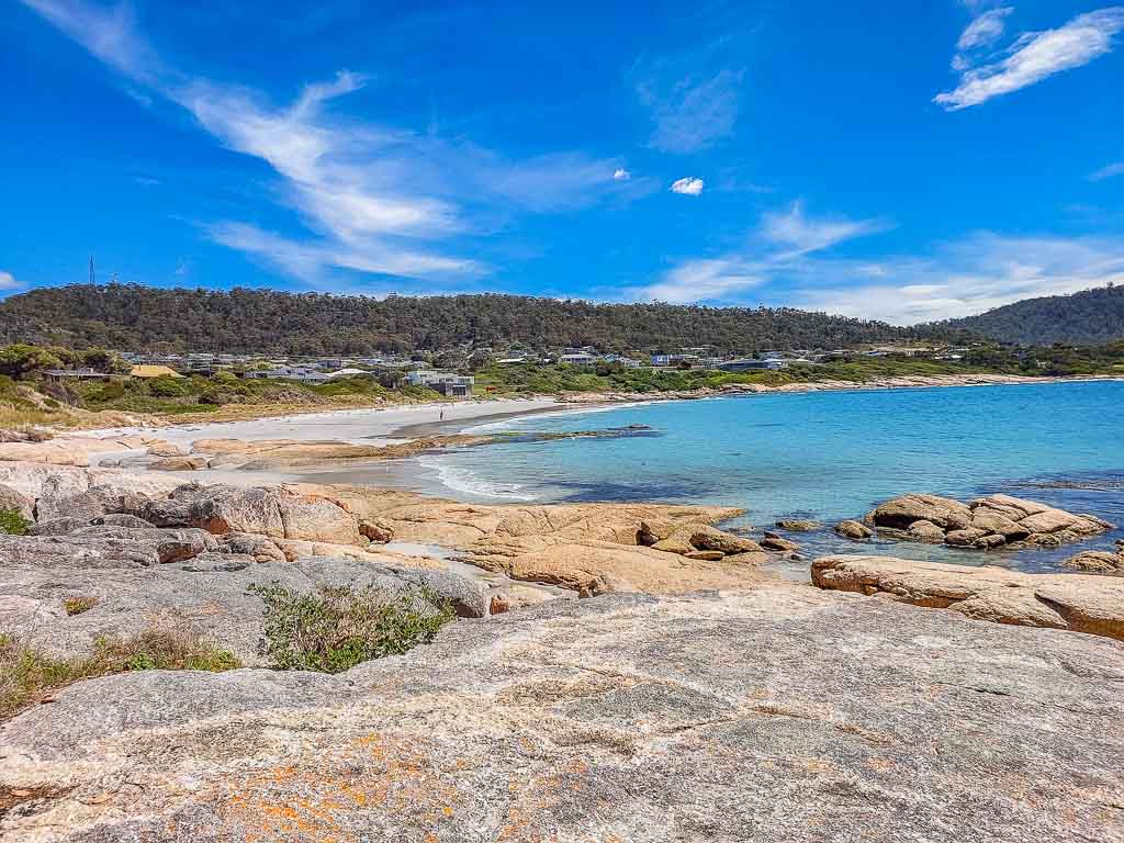
A big part of planning a Freycinet trip is deciding where to stay.
Let me immediately warn you that staying in and around the national park is expensive. Accommodation at Coles Bay and luxury venues such as Freycinet Lodge charge a high price, and places book out completely in the busier months (summer).
Instead, people often stay in the two nearest towns, Bicheno and Swansea, since you can drive from them to Freycinet without too much hassle. Expect these places to also be overpriced, but not as bad.
I stayed in Bicheno at the Beachfront Bicheno Hotel, which was convenient for the trip, and I liked the renovated rooms.
As for other highly-rated places to stay in the area, you should look at:
Choosing a Freycinet hike
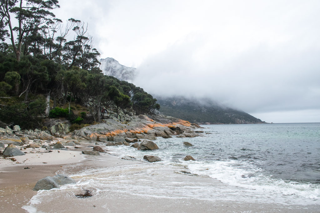
You can explore a few different hiking routes in Freycinet National Park.
Because hiking in Freycinet is so iconic, I was actually expecting more options. The hikes cater to different difficulties, time lengths, and regions, and they define how you’ll experience the national park.
All hiking routes start at the Walking Tracks Car Park and are well-signposted.
The most common hiking route is the Wineglass Bay and Hazards Beach Circuit. This is a day hike that showcases the scenery of the national park, with the first part being a walk up to the park’s main lookout.
You could come and only do the lookout walk before exploring other sights in the area. I don’t think that’s a great use of the parks pass you’ve paid for, but that’s just me.
More experienced and prepared hikers have some other hiking routes they can take. If you choose to do these, please prepare properly and register your details at the visitor centre:
- Mount Amos hike – this is a very challenging scramble, but it provides the classic view of the national park
- Freycinet Peninsula Circuit – this 2-3 day hike with camping takes you up Mount Graham and Mount Freycinet for views back to the Hazard Mountains
Wineglass Bay and Hazards Beach Circuit
So, what is the Wineglass Bay and Hazards Beach Circuit?
This hike takes you up to Wineglass Bay Lookout, down to Wineglass Bay Beach, across to Hazards Beach, and follows the coast back to your car.
Tas Parks says that it should take you between 4-5 hours to complete the 11km circuit. It took me around 3.5 hours, but with longer breaks, I think 4 hours is about right.
The route is described as Grade 4, meaning it’s a combination of long, rough, or steep and meant for people with some bushwalking experience. Honestly, that seems high to me, as I don’t think it’s very long or technical, and the track is really well made.
What I do agree with is that this is a fantastic way to explore Freycinet National Park.
Wineglass Bay Lookout
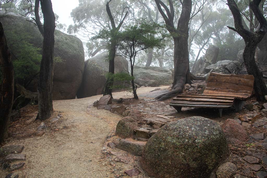
The first leg of the Wineglass Bay and Hazards Beach Circuit is up to Wineglass Bay Lookout.
This is the busiest section of the walk since you’re sharing it with people who just want to go to the lookout. But I’d also argue this is the steepest section of the whole route.
The weather wasn’t kind to me when I visited. Rain delayed my start, so I impatiently started hiking before it stopped. Hiking to the lookout took just under 30 minutes, and I arrived to find the view completely gone.
The lookout has a boardwalk that forms a loop across two levels. All I could see from there were nearby rocks and trees — the rest was a low cloud.

Because of that disappointment, I didn’t stick around on the lookout.
But after returning to the car park at the end of the circuit, I realised I had time to go back up. With the rain cleared, I could see the view from the lookout, and it was definitely worth the climb.
Choosing to hike the steepest section twice makes me question my sanity, though.
What other visitors did that day was hike the route in reverse. This puts the steepest parts near the end, which is tough, but at least they’d have gotten the view.
Wineglass Bay Beach
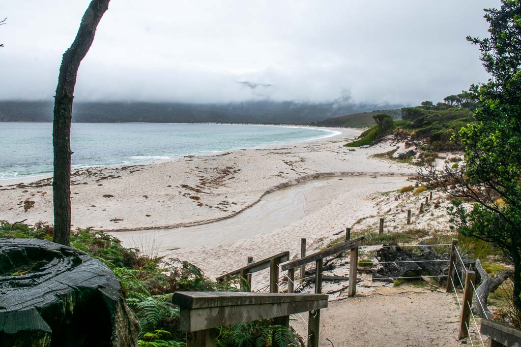
From Wineglass Bay Lookout, the trail makes a long downhill route to Wineglass Bay Beach.
This no doubt feels good after spending all that time climbing up. Still, you do have to walk down a lot of steps, which is never easy on the knees.
Fortunately, this section is on another clearly defined and well-made path. Even in wet conditions, I wasn’t worried about slipping or anything like that.
This leg of the route begins to feel much more wild compared to leaving the car park. Maybe it’s because I quickly separated from everyone else at the lookout, with nobody else following me on the rest of the circuit.
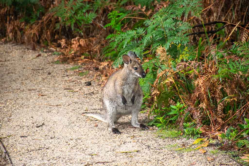
At the bottom of the stairs, you soon find yourself a short walk from the beach. And possibly some local wildlife, as I saw several pademelons here, including a joey!
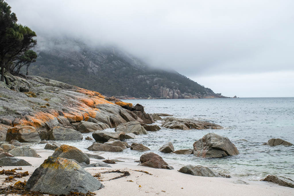
This is the beautiful and likely empty Wineglass Bay Beach.
It’s a classic pristine Tasmanian beach with the kind of lichen-covered rocks that you find at many Tasmanian beaches.
Typically, December is a great time to swim in Australia, but not so much in this location. However, that didn’t stop one man I saw from taking a dip here.
People who are doing overnight hiking in Freycinet National Park walk along Wineglass Bay Beach to reach their first overnight camping spot at the other end. I still had plenty of the hike to go, so I didn’t bother.
Isthmus Track to Hazards Beach
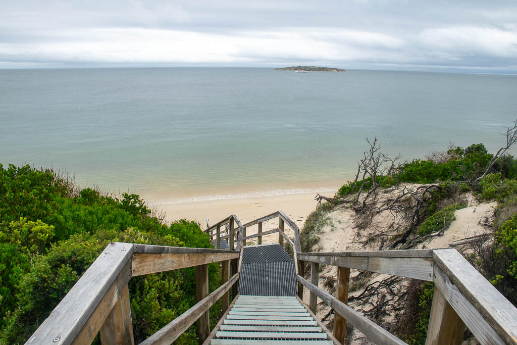
When you’re ready to leave Hazards Beach, return to the trail. There, you want the Isthmus Track, which is in the direction of the signs pointing to Hazards Beach.
This is an interesting section of the trail, mostly because of the environment of the isthmus.
Up until this point, you’ll have been walking in the forest, but here, there are totally different habitats than earlier. The path also changes, turning from a dirt track into a boardwalk.
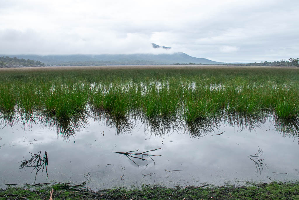
Heading inland, you begin to climb again before reaching the swamps of Hazards Lagoon. Even though the isthmus is quite narrow, much of it here is taken up by wetlands.
Viewing the lagoon from the water level, you can see it’s not the most beautiful scenery in the area. But stand still, and you’ll soon notice all the bugs and birds, plus the sounds of frogs.
To me, this was the most unexpected habitat in the area.
Moving on from Hazards Lagoon, the boardwalk starts to climb again and then reaches the top of the dunes overlooking Hazards Beach.
Hazards Beach is flatter and larger than Wineglass Bay Beach. But it also somehow feels more wild and remote than it, maybe because of the driftwood, even though Hazards Beach faces inwards towards the Tasmanian coast.
If it’s quiet like it was for me, the stairs are a great place to stop for lunch, letting you sit down and admire the view.
Hazards Beach Track
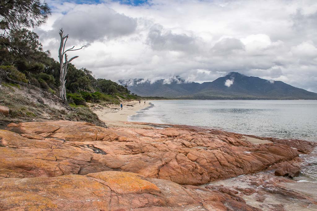
Once you’ve reached Hazards Beach, all that’s left is to get back to the start.
The route begins with walking along the beach until you reach rocks and a sign showing the trail leading away from the water. It doesn’t take too long before you lose sight of the water.
Because of how it looks on the map, I expected this trail to be mostly open and offer views of the coastline. In reality, however, much of it passes through forests and fairly closed environments. The terrain does change, and occasionally, you do pop out of the trees into areas with nice views.
Even though I’d been hiking in Freycinet for hours at this point, this felt like the easiest section of the walk. It helps that you have a bit more variety, even crossing streams, and a good chance of more wildlife.
Besides the beach walk, which felt novel to me as I haven’t done many of those in a hike, this last section is quite typical Australian bushwalking.
Sightseeing in Freycinet National Park
While hiking deeper onto the Freycinet Peninsula is a major activity here, I found other things to also do when I was there.
The national park starts well before you reach the Walking Tracks Car Park. with more than a few other spots, you can visit if you have the time.
After all, the circuit hike only takes half a day, so I visited some of the spots listed below when I was done, which worked out well.
Cape Tourville
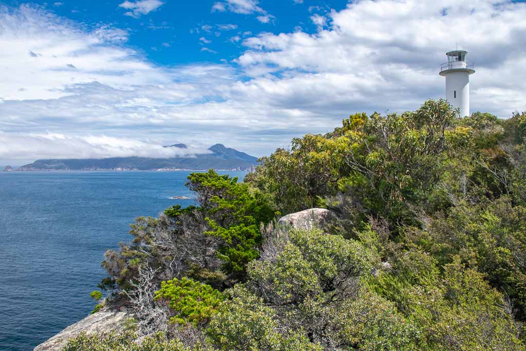
One of the most notable spots in the national park is Cape Tourville.
A lighthouse marks this point on the west coast of Freycinet, and you can easily drive right on up. A short circuit, including some boardwalk, loops around the lighthouse, offering brilliant views along the coast. Rather long stretches of beach, here you see how rugged the coastline gets.
This is the most accessible place on the peninsula, and the walk here is designed to be accessible for all. Visitors with wheelchairs may require a little assistance with inclines in a spot or two; otherwise, they should find no barriers to entry.
Cape Tourville is not to be missed if you hope to do whale watching at Freycinet National Park. Its east-facing views may let you see whale migrations at the right times of year.
Honeymoon Bay
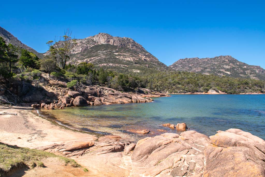
The area around Freycinet and Coles Bay is known for its many beaches.
Most of the main beaches, such as Richardsons Beach, are long arcs of sand with plenty of space for beach walks. But Honeymoon Bay is different.
This tiny beach is tucked away on the coast near the turn for Cape Tourville. It’s not the nicest from a “lying on the beach in the sun” perspective.
But in terms of a scenic spot for a swim, it’s perfect. Smooth rocks bookend the beach and make great spots to get views of the coast and up to the Hazard Mountains.
It’s just a nice little spot to consider popping in at.
Freycinet Walk and Cycle Trail
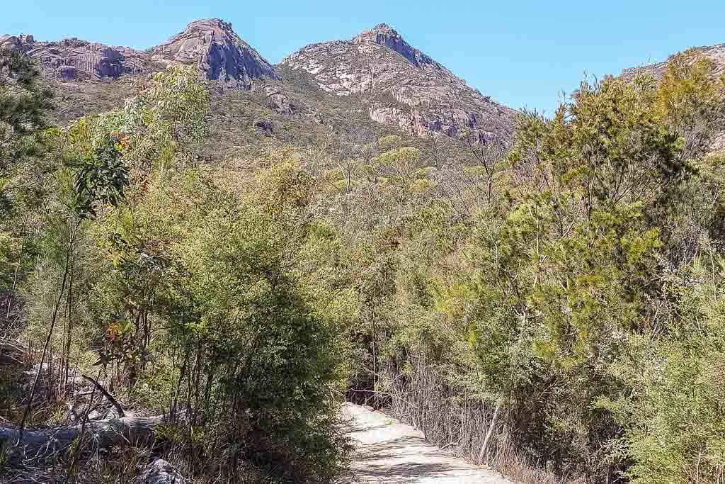
Eager to spend more time hiking in Freycinet National Park, I looked at other routes in the area.
Because I ruled out Mount Amos due to the weather conditions, I was left with the Freycinet Walk and Cycle Trail.
This gentle nature trail is an easy one, running 4km from the visitor centre to the Walking Tracks Car Park and taking 1.5 hours to return. It’s primarily a bike trail, but you can walk it if you like.
Now, the views aren’t anything compared to the Wineglass Bay Track, and the scenery is quite repetitive. But you might spot wildlife here — I saw two echidnas in the area up close, which was two more than the bikes I encountered.
