Disclosure: This post (probably) contains affiliate links. If you click on one, I may make a small commission. Of course, this will come at no extra cost to you and helps keep this site running.
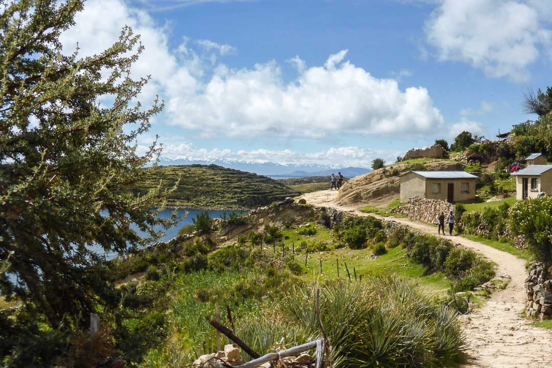
One of the big sights when visiting Peru and Bolivia is Lake Titicaca, the highest navigable lake in the world. One of the true highlights of visiting this region is Isla del Sol, a beautiful and rugged island home to great hiking and historical Incan remains. Due to its terrain and remote nature, there are no vehicles or paved roads on the island.
Arriving at Isla del Sol

Heading out from the city of Copacabana on the southern shores of Lake Titicaca, I took the ferry to one of the main towns, Challapampa in the island’s north.
Once docked, you have the option of walking up the island to some of its ruins before returning to the boat or hiking across to the town of Yumani at the other end of the island and catching the boat as it stops there on the way back.
The latter option was meant to be a huge hike, at altitude mind you, with a risk of missing the last ferry of the day (with that company). As such, I opted to return to the boat where I got off.

According to maps given out on the boat and also on the island, there was only one way back to town from the historic sites, that is, back the way you came. However, my map app on my phone showed a minor path about halfway to the island’s south that would bring me back to Challapampa. Keen to see more of the island and placing my faith in my app, I planned to take this special path that only I seemed to know about. You can see where this is going.
Walking to the Inca Ruins
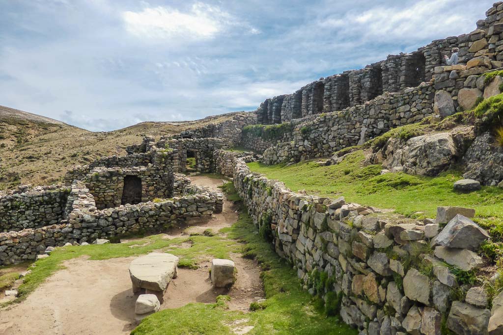
So I hiked up out of town along the path and was soon enjoying the breathtaking view of Lake Titicaca and the Andes Mountains off in the distance. After walking further up, I reached some of the archaeological sites, remnants of the Incan civilization. As a history buff who had taken an interest in Peru’s history, these were fascinating to explore for me.
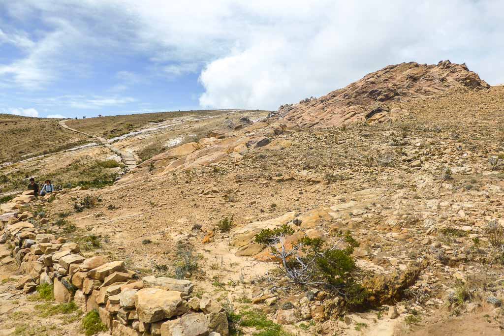
Aside from the views and the history, one of the big attractions of Isla del Sol is the varying terrain you come across. While it is nice and green down by the shore with eucalypt trees about, further up the island it gets more and more arid, to the point where it’s just rocks and dust.
How I got lost
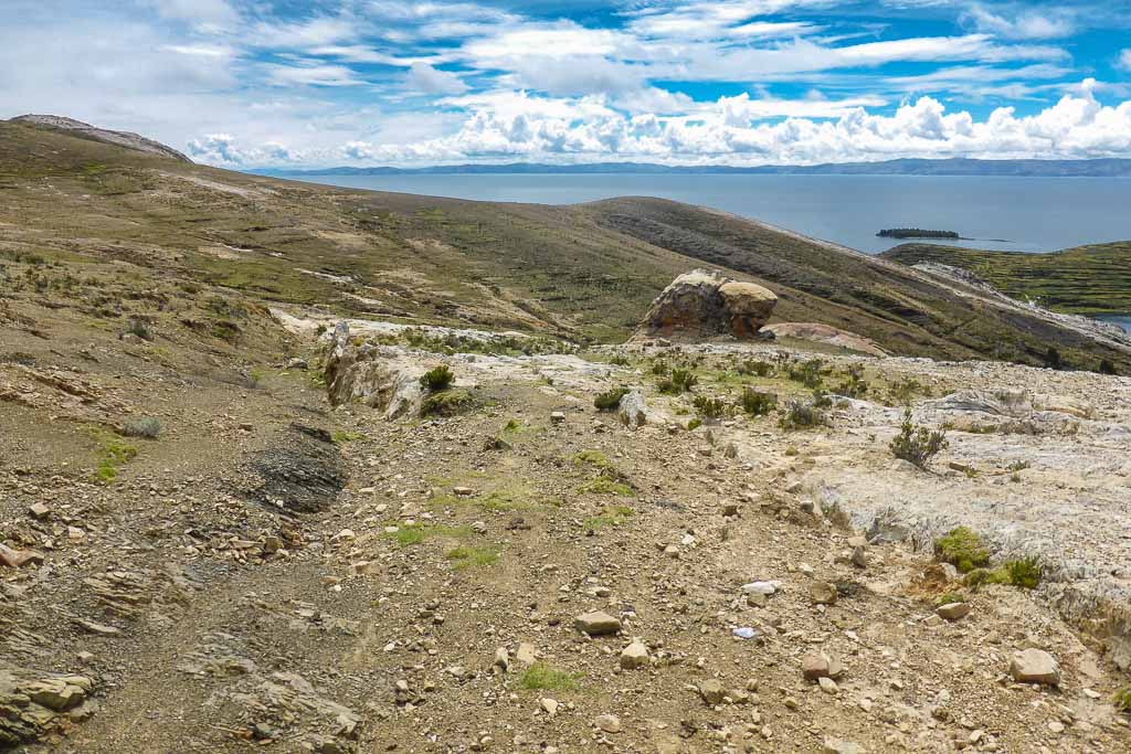
After spending ample time at the Incan sites, while everyone else began to head back to town, I ventured on up the hillside. While the terrain was still arid and rocky, the views just got better and better.
Without passing much more in the way of sights, I eventually reached the point where my app said there was a path back. I looked around. I double-checked the GPS, to make sure it was right. There was no discernible path.
Looking out further, I saw what looked like a tiny trail heading off in vaguely the right direction and figured that it must be it. Wandering through the scrub, I reached the minor “trail” and began to wander back. After 5 or so minutes, the “trail” crossed a small stream and then another.
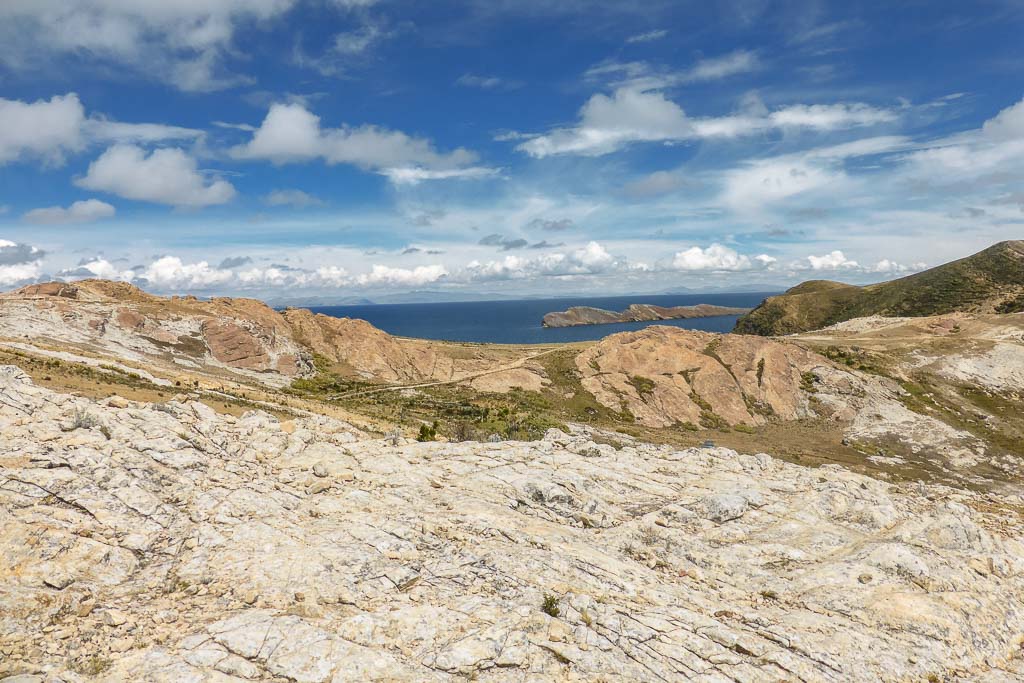
It became harder and harder to spot where the trail picked up again, the only occasional sign was some hoof marks (sheep? goats?). Already I felt like this was wrong, but I was pressed for time and was hoping, praying that it would work out.
Then the boulders appeared. Up until this point, it had been undulating rocky scrub – easy to cross. Now it was clambering up and down rocky faces and boulders, and while some were easy there were others where it was a good 10 – 15 metres of carefully walking down a slippery rock slope.
Nothing overly precarious, but I was still concerned about hurting myself and being stuck in the middle of nowhere (and missing my boat). Around here I wish I had turned back, but I had passed the point of no return and was committed to make it down.
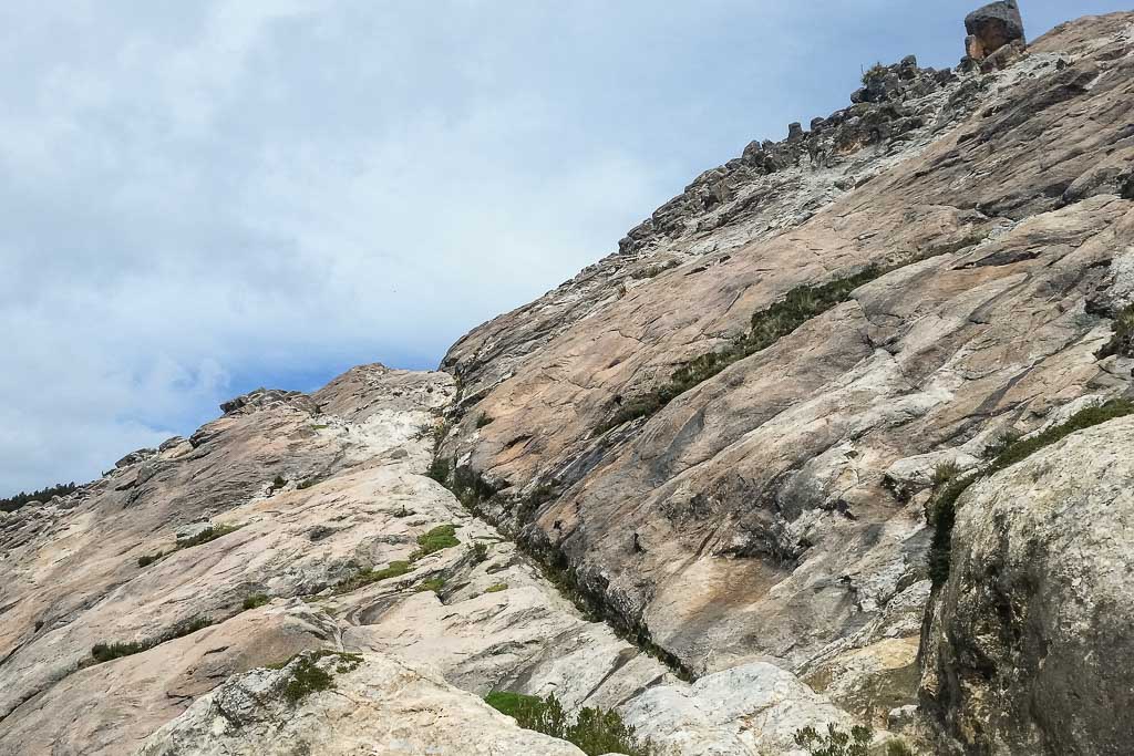
“The path”
Finding my way back to Challapampa
Thankfully the rocky stuff subsided, a gentle trail soon appeared, and the town soon came into view. Smooth sailing, right? No, one little final obstacle. As I neared the bottom of the hillside, I found myself in the backyards of the people living on the outskirts of Challapampa. Among the livestock. So now, I was trying to scurry quickly down through someone’s property without agitating their cows and pigs or running into the owners.
When I finally found myself in a street in the town, I let out a huge sigh of relief. A quick look at the time told me I made it with 20 minutes to spare so I got a water and sat to wait for my boat home.
Moral of the story: Never think you’re smarter than the locals or trust an app with “city” in the title to help you in the middle of nowhere.
Have you ever had a time while travelling when you thought you were being clever and were proven wrong? Please share in the comments.

9 comments
Very interesting place and great pics I will have to check it out one day.
Thanks Barry. It’s worth the trip if you’re nearby in Peru or Bolivia.
Beautiful what you’ve captured here. I so remember walking around and running into similar moments! I was traveling with my boyfriend (at the time) and doggie babe Marea, and I sooooo remember those remains! Looks like you saw them on a lovely day as well!
Cheers Christie. It’s such a beautiful place, great to walk around and take in the scenery. Glad I could remind you of your time there. Yeh, it was pretty sunny the day I was there and not a lot of shade up the top there.
Very interesting story! Sometimes traveling truly tests our abilities to keep our cool and find a solution! I on the other hand would have probably had a panic attack haha #TheWeeklyPostcard
Glad it all worked out ok, but I can imagine it was stressful. But its nice you were able to explore such a beautiful area! Thanks for sharing on #TheWeeklyPostcard.
Hahaha!! Love your advice, never think you’re smarter than the locals!!! SOOO TRUE! Thank you for sharing your post on FlyAwayFriday! See ya on the 2nd!!!
I visited the Isla del Sol in 2003, such a beautiful place that totally feels like a trip back in time. Love your photos. It’s sometimes great to trust your instincts but I’ve learnt never too trust GPS over local knowledge, especially Sat Nav! #TheWeeklyPostcard
Wow those photos make it look so magical! Haha, I have to agree with Chloe, that’s great advice! Love having you on #FlyAwayFriday!